Hutchinson (Kansas)
Here is general information about Hutchinson in Kansas
Hutchinson statistic
| Coordinates | 38°3′39″N 97°55′47″W |
| Country | United States |
| State | Kansas |
| County | Reno |
| Founded | 1871 |
| Incorporated | 1872 |
| Named for | C.C. Hutchinson |
| Elevation | 1,535 ft (468 m) |
| Time zone | UTC-6 (CST) |
| ZIP code | 67501-67502 |
| Area code | 620 |
| FIPS code | 20-33625 |
| GNIS ID | 477947 |
| Website | hutchgov.com |
| Area (Total) | 24.63 sq mi (63.80 km2) |
| Area (Land) | 24.58 sq mi (63.66 km2) |
| Area (Water) | 0.05 sq mi (0.14 km2) |
| Population (2020) (Total) | 40,006 |
| Population (2020) (Density) | 1,600/sq mi (630/km2) |
Other cities info:
Hutchinson is the largest city and county seat in Reno County, Kansas, United States, and located on the Arkansas River. It has been home to salt mines since 1887, thus its nickname of "Salt City", but locals call it "Hutch". As of the 2020 census, the population of the city was 40,006.
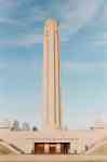
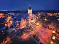
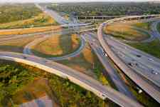
Hutchinson photos